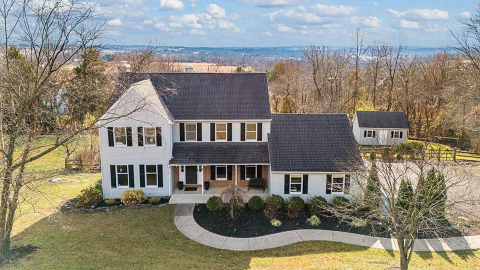
Photo: Circa 1990 Colonial on Fairview Road sold by Keller Williams Real Estate, Doylestown, PA (18901). For more info contact listing agent, Maryellen O'Brien, Realtor® at 215‑680‑8975 (direct) • 215‑340‑5700 (broker).
Salford Township municipal offices are located at 139 Ridge Road, Tylersport PA 18971.
Phone: 215‑257‑5664.
Photo: Circa 1990 Colonial on Fairview Road sold by Keller Williams Real Estate, Doylestown, PA (18901). For more info contact listing agent, Maryellen O'Brien, Realtor® at 215‑680‑8975 (direct) • 215‑340‑5700 (broker).
Neighborhoods
Township Beginnings [1]
The Salford lands are a southern part of the Old Goshenhoppen region. The original Salford Township contained some thirty thousand acres, including the present-day townships of Marlborough, Upper Salford, Lower Salford, and Salford. In 1741, the township was considered too large to manage, and following petition, the original Salford Township was split into three smaller townships named Marlborough, Upper Salford, and Lower Salford. In 1879, Upper Salford was divided into two voting districts with the eastern portion voting in Tylersport. This separation became permanent in 1892. The eastern district was named Salford Township while the western district was named Upper Salford Township.
Salford is a rural area with few villages and towns. Tylersport is the largest settlement in the township. It was originally named Cressmanville until a post office was established in 1842. The postmaster renamed the village Tyler's Port in honor of John Tyler who succeeded William H. Harrison as President. In 1880, the village had 50 houses, a "segar" factory, a Belgian block factory, and 224 inhabitants.
Salford was agrarian, and much of its early commerce supported the needs of farmers. In 1893, four gristmills were active including Whites Mill, Dietz Mill, and the Cowpath Road and Fretz Road mills. These mills were important for grinding wheat and corn but also as places for farmers to socialize. Salford Township never evolved into a commercial center and is still decidedly rural. Today, Salford Township is a bedroom community with most of its residents working elsewhere.
Salford's physical features are scenic, but they also remarkably influence the township's development. Changes in elevation from high points in the Unami Hills along Salford's western border to low points along the Ridge Valley Creek and along its eastern border, add beauty to the township. Salford is known for it boulder fields, including the area locally known as "Devil's Potato Patch," which extend into the township's upper region. These boulder-strewn hillsides discourage farming and development.
Nearby Towns: Franconia Twp • Green Lane Boro • Hatfield Boro • Lansdale Boro • Lower Frederick Twp • Lower Salford Twp • Marlborough Twp • Milford Twp • Perkasie Boro • Perkiomen Twp • Schwenksville Boro • Sellersville Boro • Souderton Boro • Telford Boro • Telford Boro • Towamencin Twp • Trumbauersville Boro • Upper Salford Twp • West Rockhill Twp •