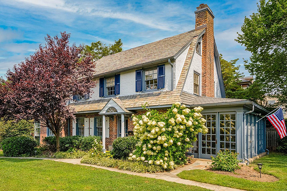


East Falls is a northwest city neighborhood containing primarily row homes with some twin townhomes and detached singles. The neighborhood is also know as simply "The Falls" or "The Falls of Schuylkill."
The neighborhood is bounded by Ridge Avenue, the Schulykill River, Wissahickon Avenue and Kelly Drive.
It is home to a number of properties that are liste on the Philadelphia Register of Historic Places and the National Register of Historic Places.
Nearby Neighborhoods
Street Names
Ainslie Street • Barclay Street • Bowman Street • Calumet Street • Capital View Drive • Cherry Lane • Conrad Street • Coulter Street West • Crawford Street • Cresson Street • Division Street • Dobson Street • Driftwood Drive • Earlham Street West • Falls Circle • Falls Lane East • Fisk Avenue • Fox Street • Foxx Lane • Gypsy Lane • Henry Avenue • Indian Queen Lane • Kelly Drive • Merrick Raod • Midvale Avenue • Mott Citcle • Netherfield Road • New Queen Street • Oak Road • Osmond Street • Palisades Drive • Penn Street West • Queen Lane West • RIdge Avenue • Riverview Lane • Route 1 • School House Lane West • Scotts Lane • Stokley Street • Sunnyside Avenue • Tilden Street • Timber Lane • Vaux Street • Warden Drive • Weightman Street • Winona Street • Wood Pipe Lane