
Bridgeton Township municipal offices are located at 1370 Bridgeton Hill Road, Upper Black Eddy, PA 18972. Phone: 610‑982‑5255.
Neighborhoods
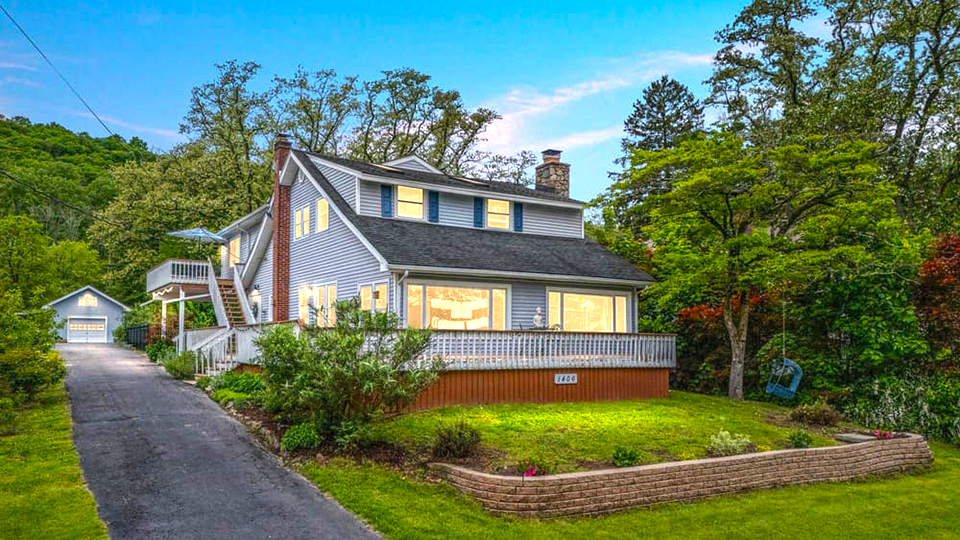
Bridgeton Township [†] is a 6.5 square-mile municipality in Upper Bucks County, situated along scenic River Road (Route 32), adjacent to the notable and federally recognized Wild&Scenic Delaware River, and historic Delaware Canal State Park.
In Bucks County, Nockamixon Township borders Bridgeton's western side, and Tinicum Township borders its southern end. Bridgeton is located 20 miles to the north of popular Bucks County cultural centers — New Hope Borough and Doylestown Borough (the county seat). The Delaware River runs along Bridgeton's eastern border, with River Road connecting the county's quaint river villages that serves as hubs for river tourism. Holland Township and Milford Borough are located across the Delaware River in Hunterdon County, New Jersey. The Lehigh Valley metropolitan area is located 20 miles northwest of the township, Philadelphia is located 60 miles to the south, and New York City is 70 miles to the northeast. Bridgeton's location within the regional transportation network allows relatively convenient access to and from the surrounding major employment centers.
Primary access is provided from the north and south via Route 611 (Easton Road), Route 412 (Harrow Road/Durham Road), and Route 32 (River Road) which holds certain truck restrictions, and from the east and west via Routes 212/412 (Quakertown Road/Bethlehem Road/Hellertown Road), Route 563 (Mountain View Drive), and Route 113 (Bedminster Road). Milford Bridge, which cross the Delaware River, provides convenient interstate access from Bridgeton to Milford Borough in New Jersey.
Before the arrival of European settlers in the 17th century, what is currently known as Bridgeton Township was once Native American territory. The Leni Lenape National were the first inhabitants and the original caretakers of this land. The Lenape were peacemakers who welcomed William Penn upon his arrival. This relationship changed after the Walking Purchase of 1737, which resulted in a loss of 1.2 million acres of Lenape land. Over a period of 250 years, many Lenape people were removed and dispersed throughout the country. Some took refuge with other tribes, but many Lenape Nation families remained in their homelands and continue the traditions of their ancestors. Today, the Lenape Nation of Pennsylvania offers leadership and commitment for the protection of the environment and the Delaware River.
Bridgeton Township's history as a political entity began circa 1860, when the eastern part of Nockamixon Township was designated as its own voting district. The area did not formally petition to become a township until 1890; however, there was enough support around 1860 to request from Nockamixon that the eastern part of the township should be its own voting district and elect its own leadership.
The 1860 Federal Census of Population contains data for the district of Bridgeton, separate from the rest of Nockamixon, and the census indicates that a plurality of the workers in the Bridgeton district were employed as boatmen on the Delaware Canal.
The township's name was derived from the covered bridge which once crossed the Delaware River between the village of Upper Black Eddy and Milford Borough in New Jersey. The original wooden covered bridge opened in 1842 but was partially destroyed by a flood in 1903. It was replaced in 1933 by the current steel truss bridge.
The Delaware Canal connected Easton to Bristol and was constructed through the Bridgeton area circa 1830. Primarily, the Delaware Canal was built to carry anthracite coal from Mauch Chunk (Jim Thorpe) to Philadelphia via the Lehigh Canal. The Delaware Canal was constructed by the Commonwealth of Pennsylvania and was originally known as the Delaware Division of the Pennsylvania State Works. In 1858, the canal was sold to the Lehigh Coal and Navigation Company which operated the Delaware Canal until 1931. The Delaware Canal was one of the oldest continually operating canals in the United States. In 1940, the Commonwealth of Pennsylvania purchased the Delaware Canal and created Theodore Roosevelt State Park, which provides adjacent communities, like Bridgeton Township, with recreational, historic, and cultural activities and amenities. The canal brought new development and growth to Bridgeton. One direct impact of the canal was the establishment of a store along the canal that served canal workers and the surrounding area; the Homestead General Store still serves the township today.
The township is home to three villages, Upper Black Eddy being the largest and most intact today. Prior to the separation of Bridgeton Township from Nockamixon Township, the village known today as Upper Black Eddy was known as Bridgeton. Eventually the name changed to Upper Black Eddy because Bridgeton was selected as the name for the township. The village's name is derived from its location along the longest eddy on the Delaware River, as well as the Black family who settled here and ran a local inn. An eddy is a place on a river where there is a reversal of the flow along one or both of the shorelines. Eddies were places where raft workers could steer the rafts into the shore and take a temporary break. As a result, the locations of eddies became places where hotels, eating places, and taverns sprung up to provide accommodations for the raft workers. Farther downstream on the Delaware River was Lower Blacks Eddy, which today is a village known as Point Pleasant. Today, Upper Black Eddy is the focal point of the township, consisting of over 100 houses, a post office, a volunteer fire company, and several commercial amenities. The village of Narrowsville is located in a dramatic setting of steep cliffs and woodlands along the Delaware River, nearly at the border of Nockamixon Township. Narrowsville is located in both municipalities. The cliffs which reach 500 feet above sea level are known as the Palisades or the Nockamixon Cliffs in Nockamixon Township. This formation is considered one of the outstanding scenic and geologic features of Pennsylvania. Rupletown village was home to many canal boatman and their families in the days when the Delaware Division Canal was still in operation. It is situation on the high plateau above the river around the intersection of Bridgeton Hill and Chestnut Ridge Roads, and was named after the Ruple family, who departed the village over 100 years ago. The Upper Bucks region is the most rural area in the county and contains a significant portion of natural resources including wetlands, floodplains, steep slopes, and significant agricultural lands, as well as significant natural and geologic features. Recreation and tourism play a significant role in the vitality of the Upper Bucks region. In fact, this region contains the highest concentration of park and recreational resources and State Game Lands in the county. Parks in the region include Nockamixon State Park, Lake Towhee County Park, Lenape Park, Tohickon Valley County Park, High Rocks County Park, and Ralph Stover State Park; as well as the Delaware Canal State Park and Ringing Rocks County Park, which are located within Bridgeton Township. Residential street
An eddy is a place on a river where there is a reversal of the flow along one or both of the shorelines. Eddies were places where raft workers could steer the rafts into the shore and take a temporary break. As a result, the locations of eddies became places where hotels, eating places, and taverns sprung up to provide accommodations for the raft workers. Farther downstream on the Delaware River was Lower Blacks Eddy, which today is a village known as Point Pleasant. Today, Upper Black Eddy is the focal point of the township, consisting of over 100 houses, a post office, a volunteer fire company, and several commercial amenities.
The village of Narrowsville is located in a dramatic setting of steep cliffs and woodlands along the Delaware River, nearly at the border of Nockamixon Township. Narrowsville is located in both municipalities. The cliffs which reach 500 feet above sea level are known as the Palisades or the Nockamixon Cliffs in Nockamixon Township. This formation is considered one of the outstanding scenic and geologic features of Pennsylvania
Rupletown village was home to many canal boatman and their families in the days when the Delaware Division Canal was still in operation. It is situation on the high plateau above the river around the intersection of Bridgeton Hill and Chestnut Ridge Roads, and was named after the Ruple family, who departed the village over 100 years ago.
The Upper Bucks region is the most rural area in the county and contains a significant portion of natural resources including wetlands, floodplains, steep slopes, and significant agricultural lands, as well as significant natural and geologic features. Recreation and tourism play a significant role in the vitality of the Upper Bucks region. In fact, this region contains the highest concentration of park and recreational resources and State Game Lands in the county. Parks in the region include Nockamixon State Park, Lake Towhee County Park, Lenape Park, Tohickon Valley County Park, High Rocks County Park, and Ralph Stover State Park; as well as the Delaware Canal State Park and Ringing Rocks County Park, which are located within Bridgeton Township.
† Adapted from:Bucks County Planning Commission, Bridgeton Township Comprehensive Plan Update, 2023, bridgetontwp.org, accessed June, 2025.
Nearby Towns: Alexandria Twp • Bloomsbury Boro • Frenchtown Boro • Holland Twp • Kingwood Twp • Milford Boro • Nockamixon Twp • Pohatcong Twp • Riegelsville Boro • Tinicum Twp •