
See also:
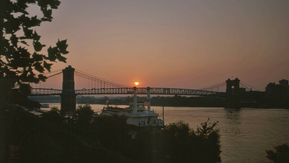
The confluence of the Allegheny and Monangahela Rivers at Pittsburgh, Pennsylvania marks the beginning of the Ohio River, named from the native Iroquois tongue, translated means "the great river." Nine hundred miles later, the Ohio enters the mighty Mississippi at Cairo, Illinois.
Through the American Revolution, the land north of the Ohio was primarily inhabited by various Indian tribes.
Through the 19th century, the Ohio served as a primary route for travel and commercial traffic for farmers, manufacturers, and residents of Illinois, Indiana, Kentucky, Ohio and West Virginia.
Text, below, was adapted from: Conclin's New River Guide or A Gazetteer of All the Towns on the Wester Waters, J.A. & U.P. James, Cincinnati, 1854.
Formed by the union of the Alleghany and Monongahela, at Pittsburgh. No river in the world rolls, for the same distance, such a uniform, smooth and placid current. Its banks are generally high and precipitous — rising into bluffs and cliffs, sometimes to the height of three bundled feet. Between these bluffs and the river, there is generally a strip of land, of equal width, called bottom. These bluffs exhibit a wild, a picturesque grandeur, which those who have never viewed nature in her primitive and unspoiled state, can hardly imagine. Dense and interminable forests — trees of the most gigantic size, casting their broad shadows into the placid stream — the luxuriant and mammoth growth of the timber in the bottoms — the meanderings and frequent bends of the river, and the numberless beautiful wooded islands, all of which, in rapid succession, shift and vary the scene to the eye, as you float down the endless maze before you, are calculated to fix upon the mind an indelible impression.
Between Pittsburgh and the mouth of the Ohio, there are one hundred considerable islands, besides a great number of tow-heads and sand-bars. Some of these islands are of exquisite beauty, covered with trees of the most delicate foliage, and afford the most lovely situations for a retired residence.
The Alleghany rises in the northern part of Pennsylvania, flows north into New York, and thence south into Pennsylvania. It is navigable to Olean, in New York, and to Waterford, on French Creek (its principal tributary), fourteen miles from Lake Erie. Small steamboats have even ascended to Olean, two hundred and forty miles from its mouth. It receives the waters of French Creek, Connewongo, Mahoning, and Kiskiminitas. Much of the country along it is broken and sterile, but abounds in inexhaustible quantities of the finest lumber, which supply the great demand of the entire country below. It is supposed that thirty million feet of lumber are annually shipped from this region. The river is about 400 yards wide at its mouth. Tributary rivers and creeks, to the number of seventy-five, empty into the Ohio, between Pittsburgh and its mouth. A number of cities and flourishing towns are situated on its banks.
The Monongahela rises in the Alleghany range, near Morgantown, WV, and flows in a northwest direction to Pittsburgh. The Youghiogheny is its principal tributary. The country along it presents a highly picturesque and beautiful appearance. It is rich and fertile; celebrated for its flour, fruit, and whiskey, its extensive mines of coal and iron, and large iron manufactories.
The Monongahela has been rendered navigable, in all seasons, to Brownsville, formerly called Red Stone, a distance of about thirty-five miles. Steamboats daily run to this point, connecting with the great stage route from Wheeling to Cumberland. Brownsville contains about 1,500 inhabitants. Bridgeport, quite a flourishing town on the opposite side of Dunlap's creek, is connected with it by a bridge.
In good stages of water, the Monongahela is boatable about one hundred miles above Pittsburgh. Fourteen miles above Pittsburgh, on the banks of this river, was the scene of Braddock's defeat by the Indians, on the 9th of July, 1755.
River Towns